Incident history
Fire Incident History
02 Aug 2019
Passenger vehicle fire
Property Use —
Residential street, road or residential driveway
Actions Taken —
Extinguish
Area of Origin —
Operator/passenger area of transportation equip.
Passenger car. :
Other Make
Property Loss :
$15,000
Property Value :
$15,000
Incidents registered in Federal Emergency Management Agency
11 Jun 2015
Outside rubbish, trash or waste fire
Property Use —
1 or 2 family dwelling
Actions Taken —
Extinguish
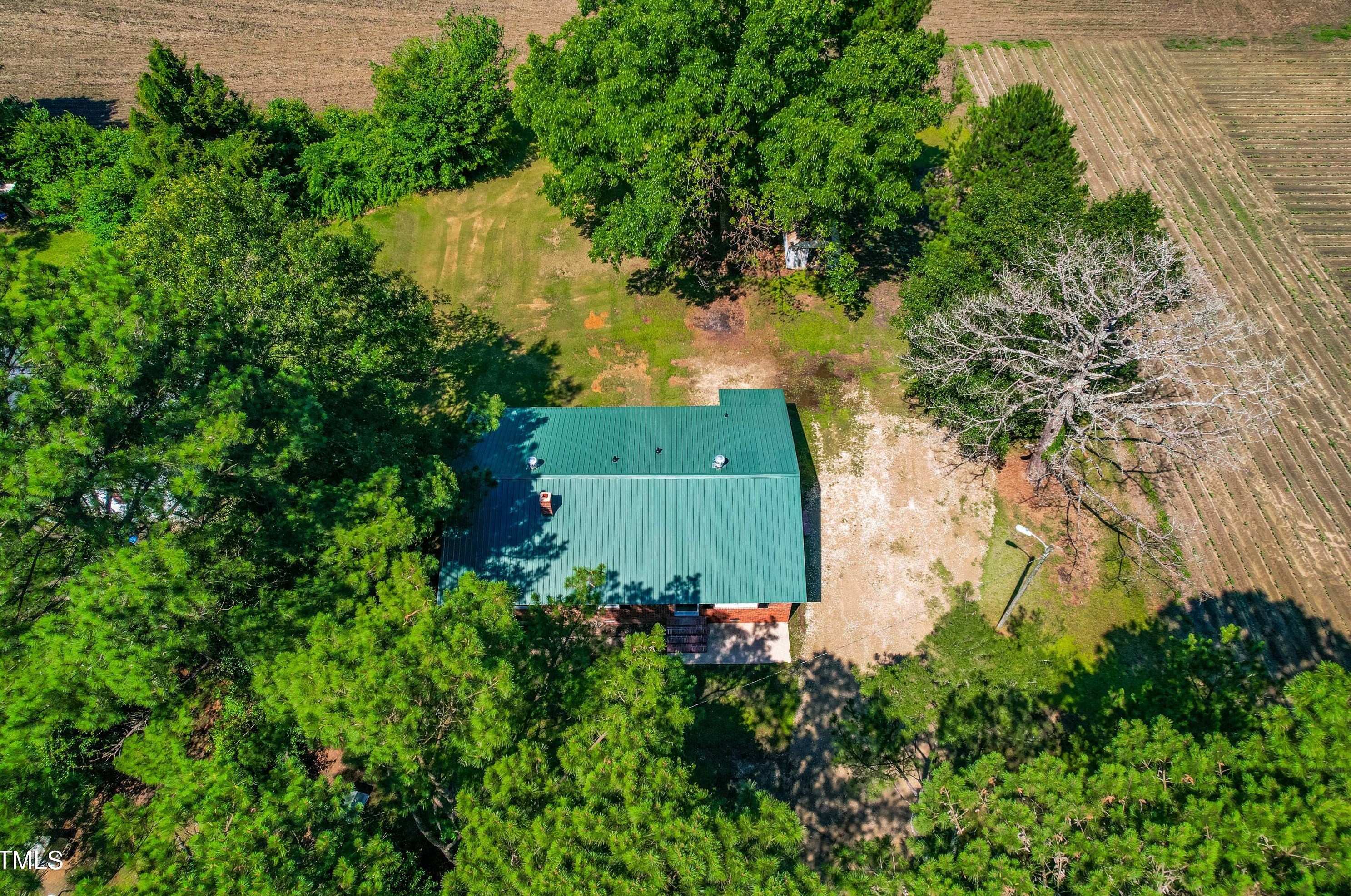
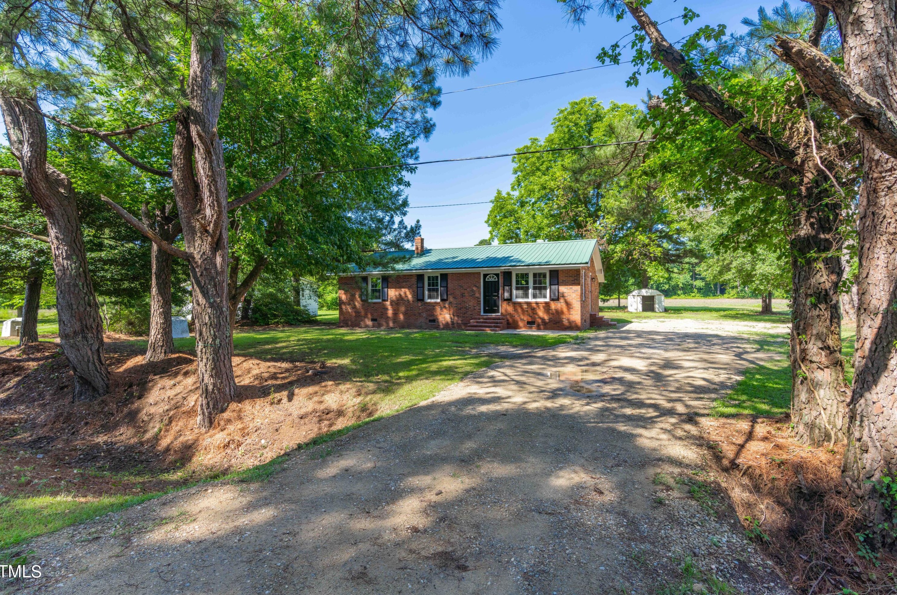
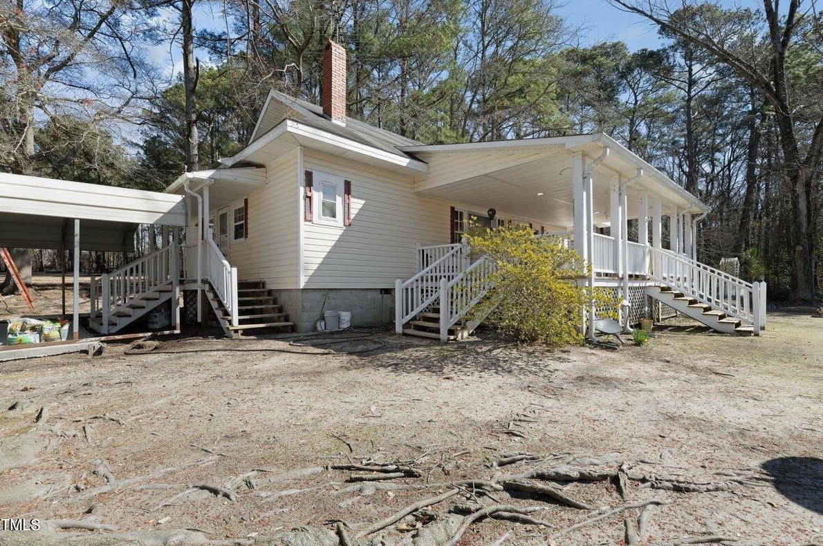
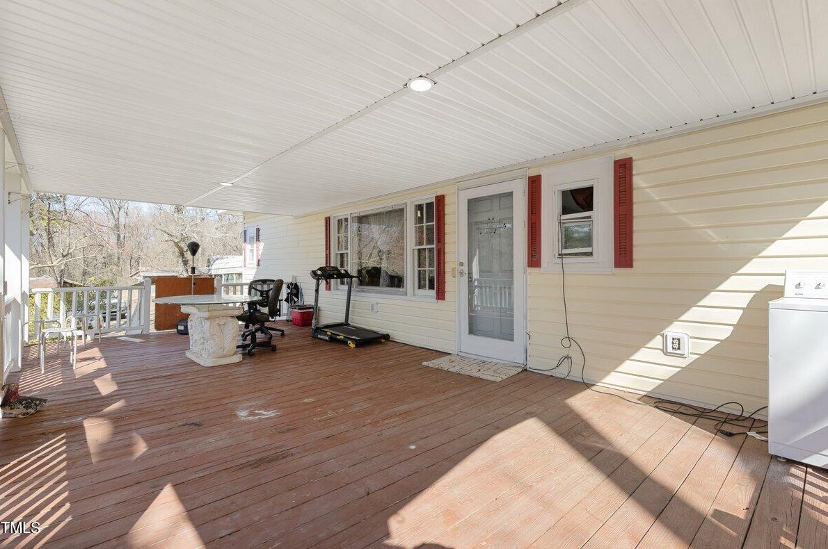
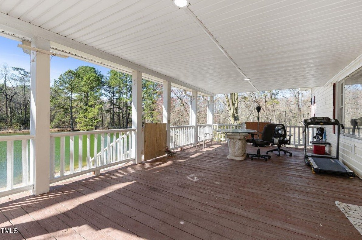
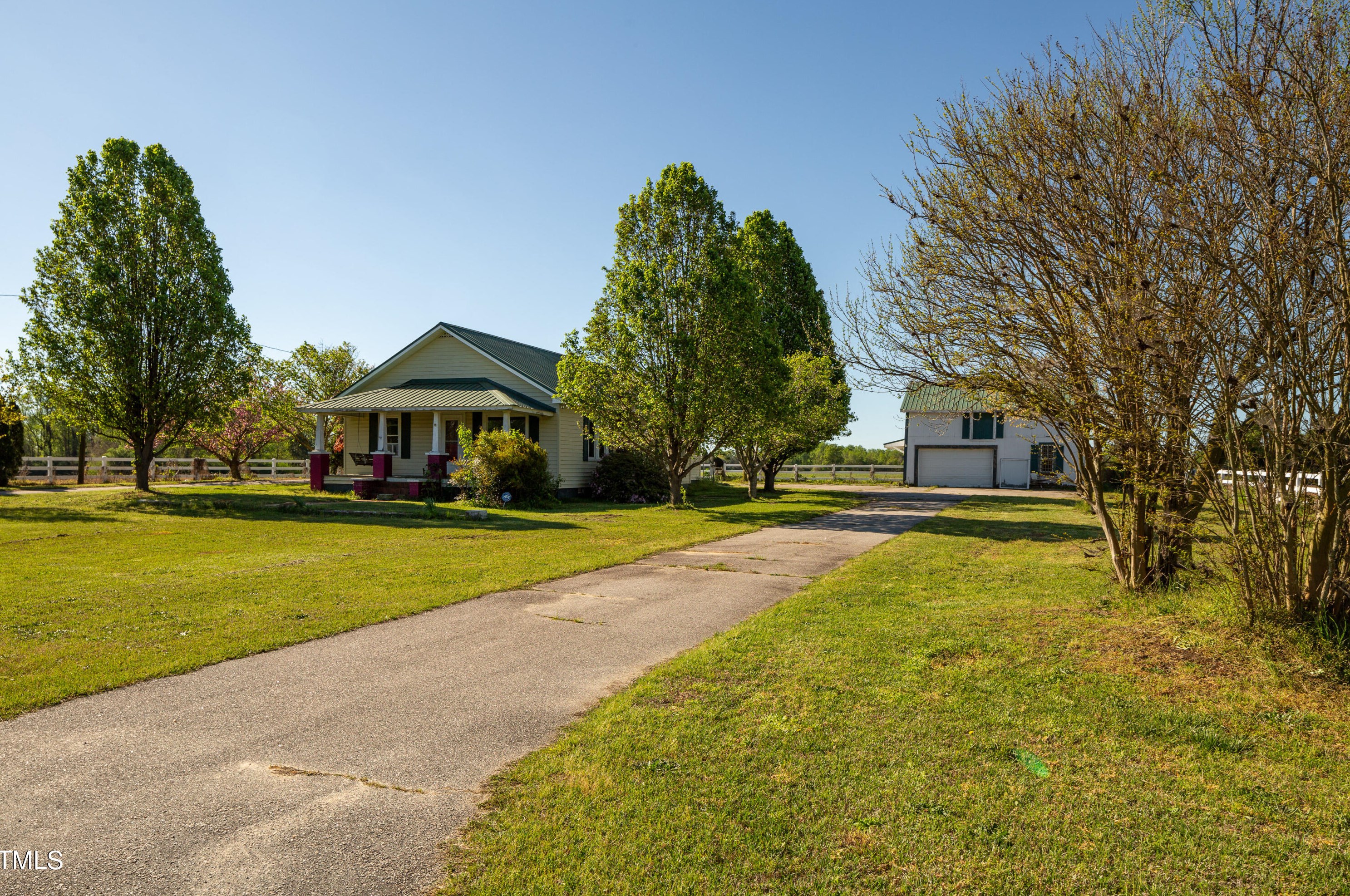
Houses for sale near 1265 REEDY PRONG CHURCH RD, Newton Grove, NC 28366
Single Family


More property photos
$249,900
For Sale
Single Family
- 3 beds
- 2 baths
- Floor size: 1,298 sqft
Single Family

More property photos
$297,600
For Sale
Single Family
- 2 beds
- 2 baths
- Floor size: 1,360 sqft
Single Family


More property photos
$100,000
For Sale
Single Family
- 2 beds
- 1 bath
- Floor size: 1,330 sqft
Newest Listings on Reedy Prong Church Road
Additional Services
Relocation
Advertisement
Home Warranty
Avoid Unexpected Home Repair Bills! Get $50 Off + Your First Month is Free! Get Your Free Quote Now!
Advertisement
Schools nearby
| Name | Type | Grade | Distance |
|---|---|---|---|
| High school | |||
|
Midway High
15274 Spiveys Corner Highway, Newton Grove, NC 28366 |
Public | 9-12 | 9.54 |
Browse homes in Newton Grove, NC
| Street Address |
|---|
FAQ
- Have there been any fire-related events in close proximity to the house located at 1265 Reedy Prong Church Rd, Newton Grove, NC?
- The most recent fire incident involving the house at 1265 Reedy Prong Church Rd, Newton Grove, NC occurred in 2019. Additional fire incidents related to this property can be accessed through the provided link.
- Have there been any reported FEMA incidents at 1265 Reedy Prong Church Rd, Newton Grove, NC?
- The most recent recorded FEMA incident at 1265 Reedy Prong Church Rd, Newton Grove, NC took place in 2015. Additional FEMA incidents on Reedy Prong Church Rd can be found through the provided link.